Reference database GRIP
Why a reference database?
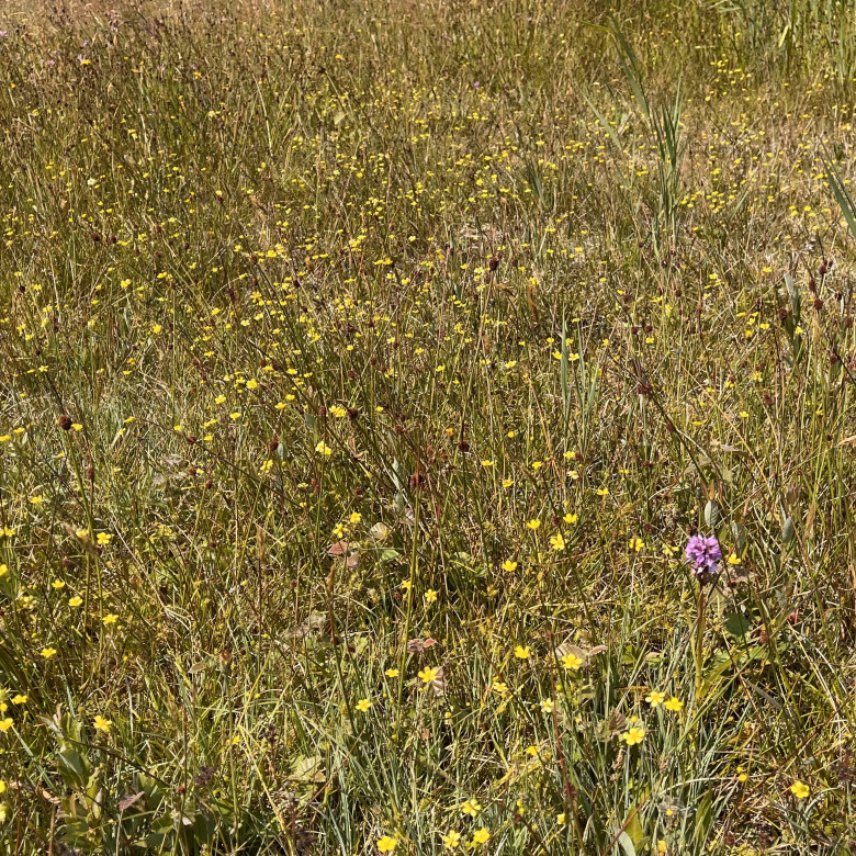
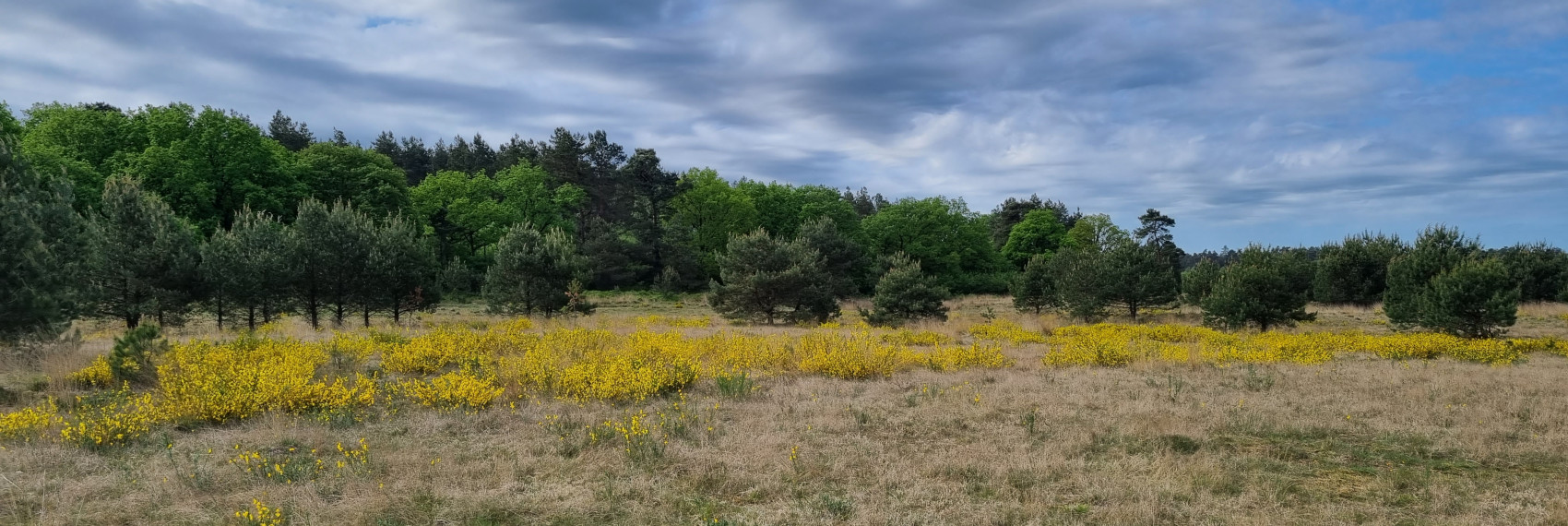
From a nature management and policy perspective, there is a clear need for a good description of the habitat conditions of the vegetation communities distinguished in the Netherlands. Such descriptions have been made, but the scientific basis is extremely narrow. This is partly because very little measurement data are available and partly because the available data are difficult to compare because of the very different analysis techniques used. Research centre B-WARE and the Department of Ecology at Radboud University have now large numbers of measurements in all kinds of vegetation types, and the methodology has remained fairly constant over the years. This has made it possible to build a consistent database of measurements combined with well-defined vegetation.
Description
GRIP stands for: Measured Reference Values In Plant Communities (in Dutch: Gemeten Referentiewaarden In Plantengemeenschappen). It is a database where all data are collected from locations where a vegetation survey was taken, and where the chemical composition of soil and/or water was measured according to several standard methods. These data come from all kinds of studies carried out by B-WARE, especially over the past 20 years. The database consists of two parts. The vegetation recordings are entered in Turboveg. Via a number, these vegetation recordings are linked to the measurements, which are entered in Excel.
Development
GRIP is intended to be a living database; new monitoring data are constantly being added from completed surveys. The intention is to make regular, e.g. annual, updates presenting both data on more types of plant communities, species and parameters, as well as more reliable ranges based on more data. The website will be regularly refreshed, e.g. as more text and explanations are added or to provide some corrections to the published data. The July 2024 version is the first version (version 2024.1). Here, ranges are given for a number of parameters for about 50 plant communities.
Use
The published data may be used freely, with reference to the source. Please also mention the version (= year.x) of the published table; updates will appear over time. Especially for this first version, it is strongly discouraged to apply the published ranges "blindly". There are always conceivable situations that deviate from the standard, in which other processes are involved and in the end different ranges often apply to individual parameters. The ranges are intended as an initial guide when using measured values in nature management.